
Feichtinger Asset Mapping brings 15 years of industry experience to digitizing your as-builts, sketches, and field notes into an interactive web map — built for HOAs, irrigation districts, small towns, and campgrounds who don't need (or can't afford) a traditional engineering or surveying firm just to see what they own.
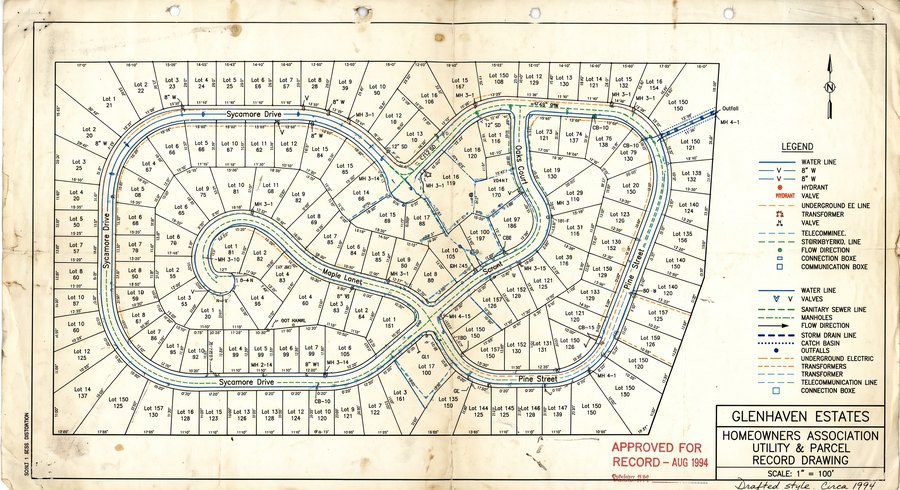
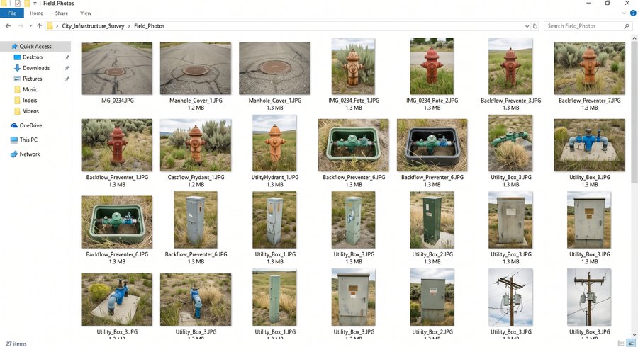
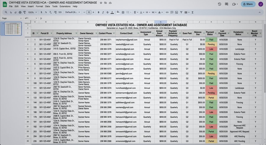
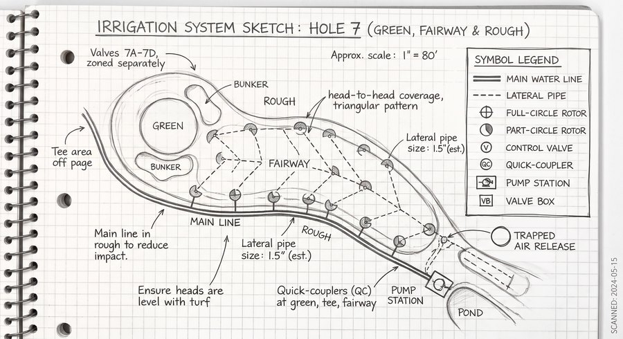
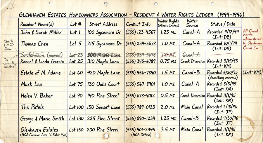
Old plats, scanned as-builts, hand-drawn sketches, field notes, photos, CAD files, spreadsheets — whatever you've already got, in whatever shape it's in.
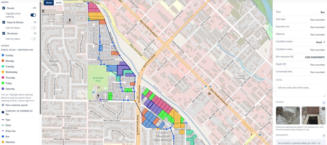
A map already populated with your assets, built to your layers, fields, and branding. View, add, edit, delete, manage it — no consultant, just a minimal hosting fee.
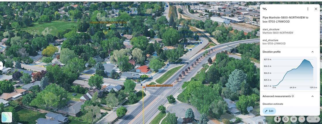
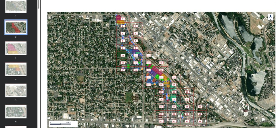
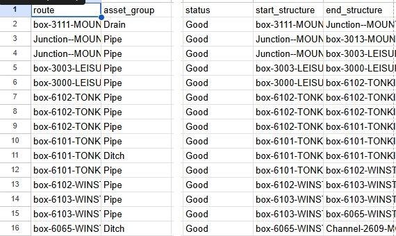
Export a KMZ for Google Earth, a print-ready PDF report, or a CSV for Excel or Sheets. Nothing is locked inside one system.
If your records live in someone's memory, a stack of PDFs, or a spreadsheet no one fully trusts, this service was built with your organization in mind.
Don't see your organization listed? If you manage physical assets and need a better record of them, it's worth reaching out.
Review three example projects — an irrigation district, a small town, and an RV resort — or reach out directly with what you have.